Paris Charles de Gaulle International Airport (CDG)
City Orientation and Maps
(Paris, France)
A particularly famous and appealing city, bursting with history and stunning buildings, Paris is located in northern France. Prominent cities and towns close to Paris include Beauvais and Amiens to the north, Reims to the east, and Orléans to the south. Those looking to travel to the coast will find Le Havre to the north-west, with a journey time of around two and a half hours.
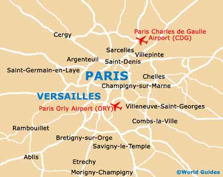
Most people flying into Paris from international destinations arrive at Roissy Charles de Gaulle International Airport (CDG), which resides on the north-eastern outskirts.
Paris Charles de Gaulle International Airport (CDG) Maps: Important City Districts
The city itself is divided by the famous River Seine, boasting regular cruises around the city, both during the day and in the evening. Batobus boats provide a popular method of public transport along the Seine, linking many points of interest. Within the centre of the River Seine you will find two islands, the Ile St-Louis and the Ile de la Cité, where the stunning Notre Dame Cathedral resides.
Much of Paris is split into districts, which are known locally as arrondissements, with 20 in total. The 8e arrondissement contains both the Champs-Elyées and the Arc de Triomphe, while the 7e arrondissement contains the most famous landmark in the whole of Paris, the breathtaking Eiffel Tower, which is a major tourist attraction and completely illuminated at night.
France Map

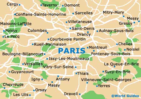
Paris Map